OOPC in situ

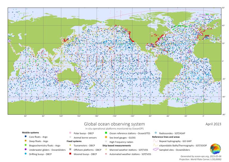
Thirteen mature global observing networks currently track changes in ocean conditions and ocean climate under the Global Ocean Observing System’s (GOOS) Observations Coordination Group Observing networks currently recognised by OCG include Argo, OceanGliders, OceanSITES, Ships of Opportunity Programme and the Global Sea Level Observing System (GLOSS), amongst others. They enable a global coordination framework to all types of observational platforms that are used in ocean observing and are operated by nations. The networks develop best practices around the EOVs and across the EOV life cycle, from pre-deployment calibration to delayed mode quality control techniques to ensure interoperability across the platforms and observations.
OceanOPS is the operations monitoring and support centre for GOOS and maintains a web service to monitor and report on the status of the in situ networks. Currently, OceanOPS tracks over 100,000 observations coming from the global networks a day.
Information about ocean networks operating under OCG umbrella is provided regularly by GOOS through the Ocean Report Card,.and is available in GOOS website.
